
By Shannon Mullane | Colorado Sun
The federal government laid out firm deadlines for the process to decide how to manage the river’s future. As the negotiations continue, environmental conditions in the basin worsen.
Colorado River Basin states are almost, sort of, close to a small compromise in their negotiations that focuses on matching reservoir releases more closely to the river’s actual flow. Colorado water watchers seem to be rolling with it — so far.
Top negotiators in Colorado and six basin states offered a glimpse into the high-stakes talks for the first time in months during several water meetings this week. The states are negotiating how to manage the future water supply for 40 million people once the existing rules expire in 2026.
The opposing sides in the negotiations — four Upper Basin states, including Colorado, and three Lower Basin states — are setting aside legal posturing in favor of a tentative compromise that gives each basin a win and loss.
They’ve spent a lot of time getting here, Becky Mitchell, Colorado’s lead negotiator, said during an Interbasin Compact Committee meeting in Grand Junction on Wednesday.
“It’s a small part of the larger conversation that needs to be had. I also think it’s a distraction from the conversation that needs to happen that doesn’t really involve us,” Mitchell told Coloradans, alluding to water cutback conversations in the Lower Basin.
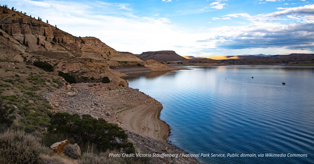
The 246,000-square-mile Colorado River Basin supports multibillion-dollar agricultural industries, beloved environments like the Grand Canyon, and cities from Denver to Los Angeles. Western states, 30 tribal nations, Mexico, the U.S. government, ecosystems and industries all have a stake in the river’s future.
In the near term, that future looks bleak. Two decades of drought, unyielding demand for water and rising temperatures are all straining the river system.
In the current negotiations, river officials are working to replace existing rules from 2007 for how to store and release water in two major reservoirs, Lake Mead and Lake Powell. It’s part of a process managed by the Department of Interior and the Bureau of Reclamation.
If the seven states can reach an agreement, the federal agencies will incorporate it into their process as a “preferred” option, said Scott Cameron, the Department of the Interior’s acting assistant secretary for water and science, during a meeting of the Upper Basin states Thursday.
He also gave the states firm deadlines: The feds want to know whether a state deal is likely by Nov. 11. The bureau plans to publish a draft environmental impact statement in December, but states will have until Feb. 14 to share the details of how their plan will work.
“Most fundamentally, we all need to realize there’s a lot less water in the Colorado system than people thought there was going to be 100 years ago, or 50 years ago, or quite frankly, 10 years ago,” he said. “We all have to live in the physical world as it is, not as we might hope it will be.”
A tentative compromise
The Colorado River states’ compromise includes three facets: Measuring the river at the Lees Ferry river gauge below Lake Powell, basing reservoir releases on the three-year flow measured at the gauge, and putting aside legal arguments in favor of this compromise.
The three-year average flow idea is a compromise on the Lower Basin’s part.
When it’s time to decide how much water to release from Lake Powell, officials will look at the natural flows at Lees Ferry for three years prior. The natural flow estimates the amount of water in the river without any dams, diversions or other human activity upstream.
The idea is to move toward supply-driven management based on near-current river conditions. That’s a shift away from the 2007 guidelines, which prioritized downstream delivery requirements outlined on paper over the real-world fluctuations in the river’s flows. That is, in part, why key reservoirs fell to about 30% of their capacity over the past two decades.
The setup has favored Lower Basin states, including Arizona, California and Nevada, for two decades. It also allowed the basin’s major reservoirs to be drained to the brink of a crisis.
The tentative idea to measure that flow at Lees Ferry exemplifies why water officials often say the devil is in the details.
The gauge is located just downstream of Glen Canyon and the mammoth reservoir, Lake Powell. It is, however, upstream of key tributary rivers in the Lower Basin, which means their flow won’t be captured in the total flow measurements each year.
The Upper Basin’s legal argument has been that the tributaries should count toward water use in the Colorado River Basin. The Lower Basin states disagree.
“It is a ‘give’ to even be looking at this, and to be looking at it in this way,” Mitchell told Colorado water users in Grand Junction Wednesday. “I want to leave it at that.”